 UP Iron Atlas
UP Iron Atlas
UP Iron Atlas
About the Application
The UP Iron Atlas is a web application dedicated to exploring the historical heritage of iron mining in the Upper Peninsula of Michigan. Through a combination of interactive maps, and curated historical content, users can embark on a journey through the region's rich iron mining history. The application offers access to archival maps, GIS data, city directory records, and compelling narratives that highlight the significant role of iron mining in shaping the landscape and communities of the Upper Peninsula.
Users can delve into the intricacies of iron mining operations, examine the change of iron mining sites over time, and uncover fascinating stories of the people who lived and worked in these areas. Whether for educational purposes, historical research, or sheer curiosity, the UP Iron Atlas provides an immersive and informative experience into the captivating world of iron mining history.
Project Team
- Bob CowlingGIS Librarian — Project Director
- Isaiah WashingtonM.S. Student, Social Sciences — Library GIS Assistant
- Yamini Sree ManchalaM.S. Student, Forestry — Library GIS Assistant
- Genius AmaraizuM.S. Student, Humanities — Graduate GIS Assistant
Using the Application on Desktop
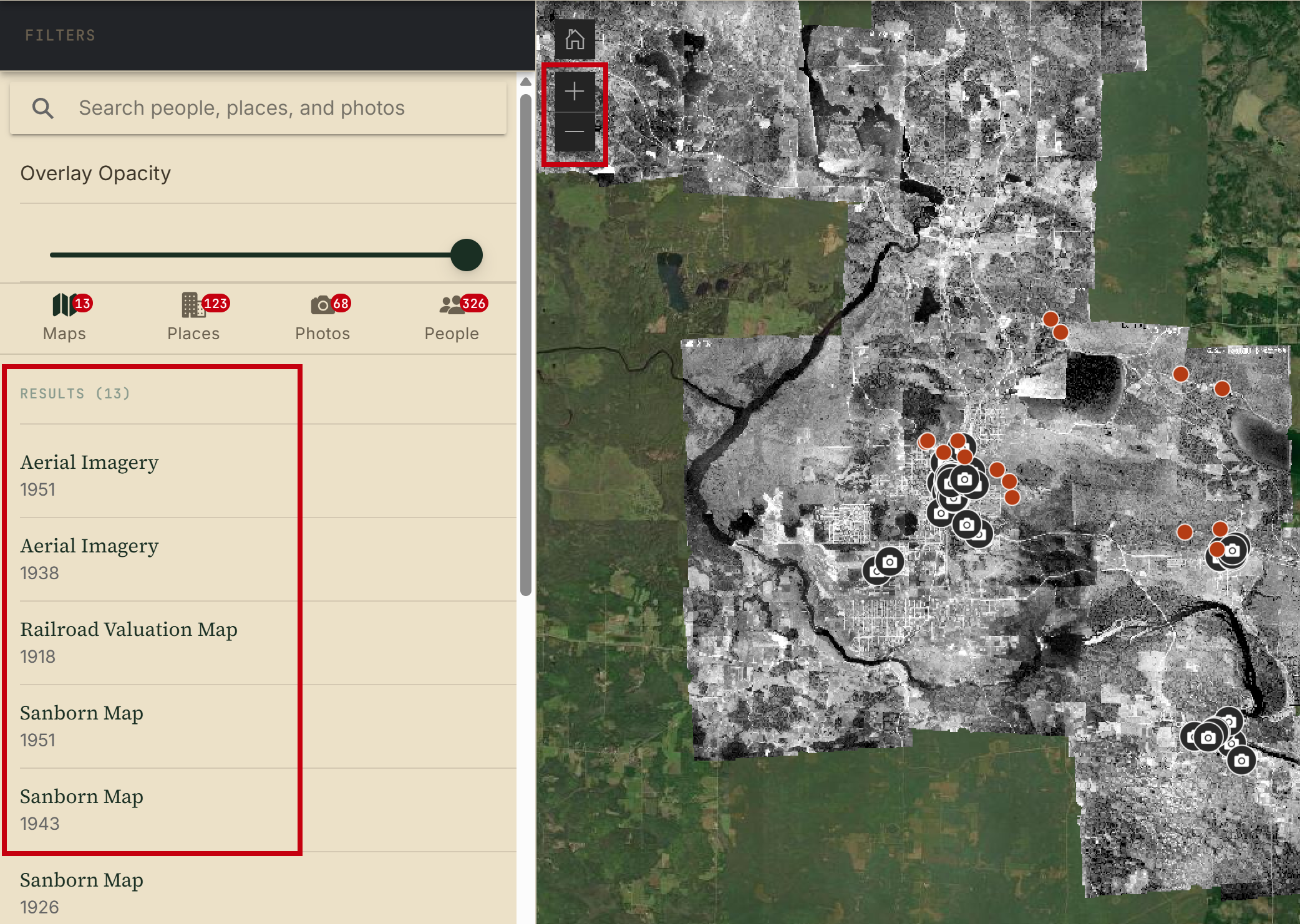
Use the zoom controls to zoom in and out of the map. The maps list on the right sidebar will update with maps corresponding to that area. Click on any map on the list to view it in the map interface. You can also view Places, Photos, or People at the location corresponding to the area in which you are viewing on the map.
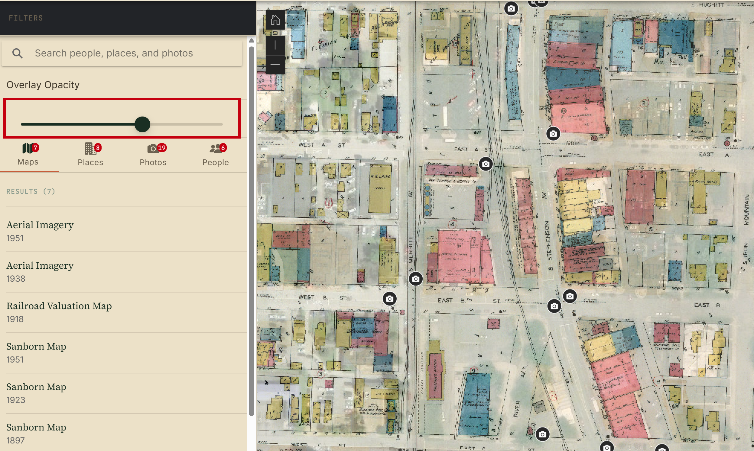
Use the opacity slider to change the opacity of the overlay map to compare changes from the historical map overlay with the modern basemap.
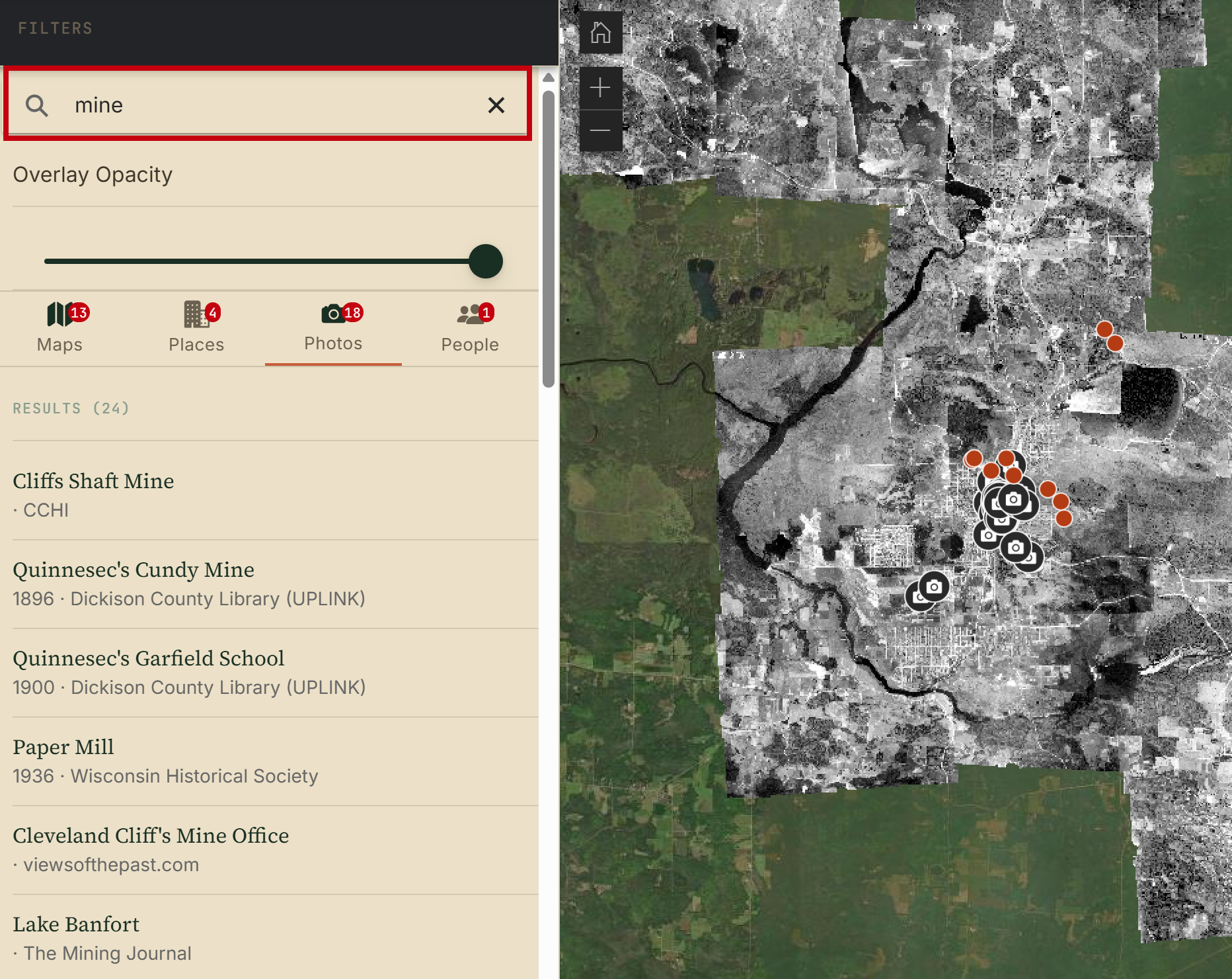
Use the search bar to search for maps, places, photos, or people. The Results list will update.
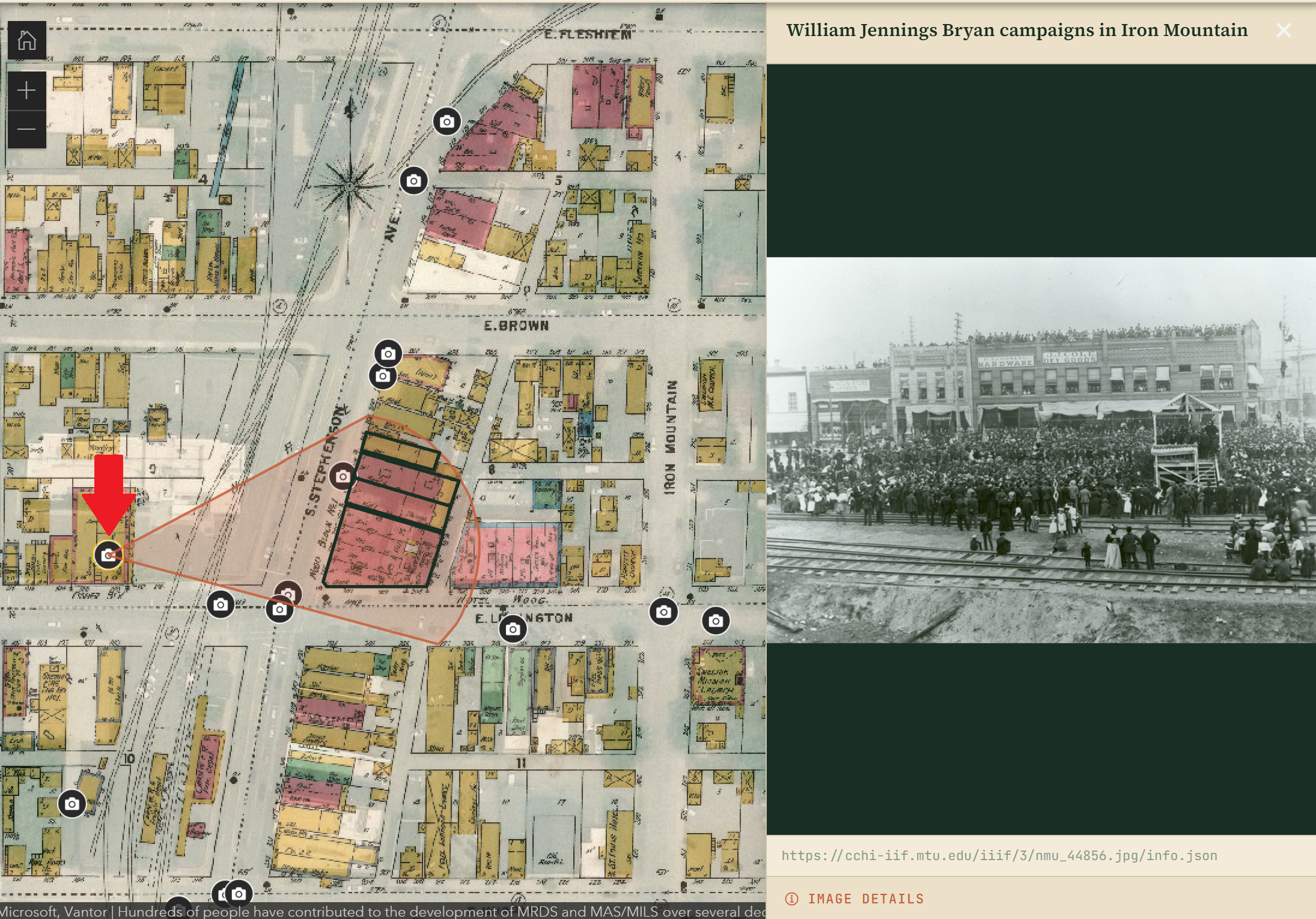
Click on any of the camera icons to view a picture of that location. You also get a viewshed that shows the approximate viewing area that is shown in each picture.
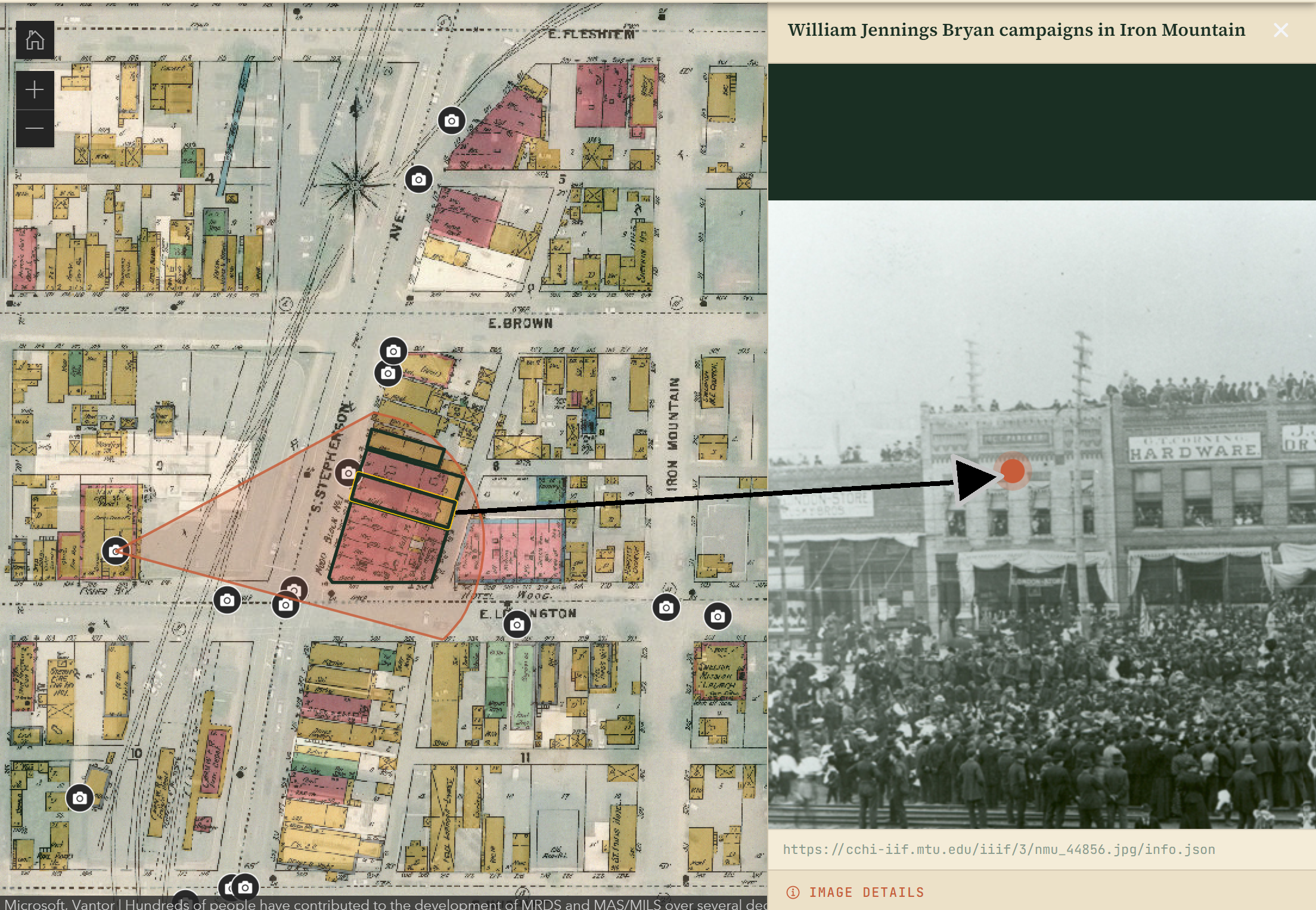
Some photo viewsheds have building footprints associated with them (outlined in black). Click on any of the footprints to view the corresponding building in the photograph, highlighted with a red dot in the picture.
Using the Application on Mobile
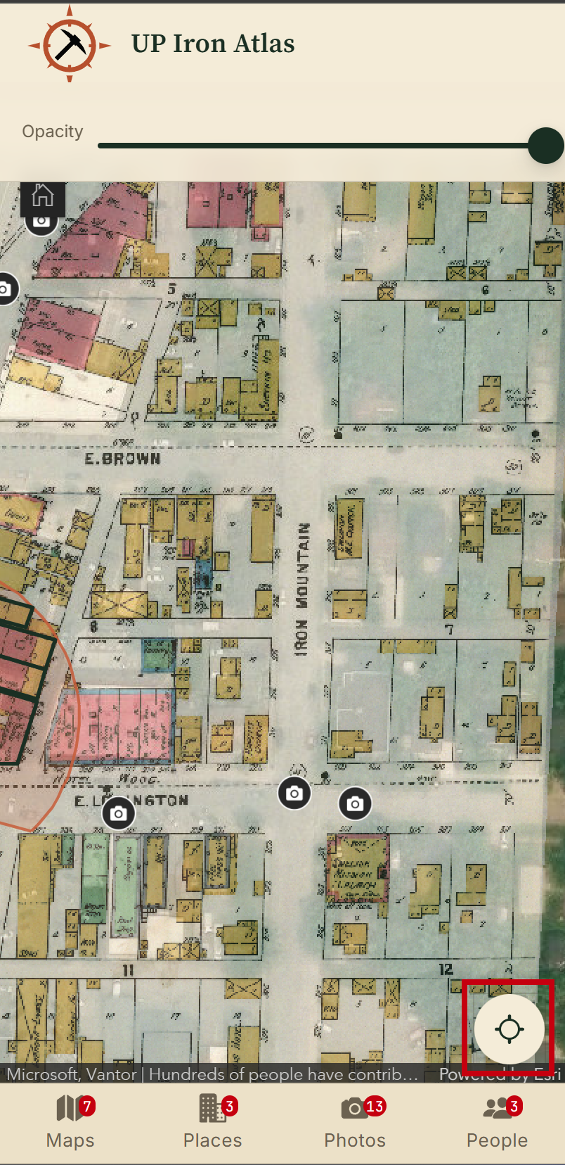
The mobile application and the desktop application generally share the same features and functionality. The mobile version lacks search capabilities but adds a GPS button where you can zoom to and track your current location on the map as you are viewing the historical landscape.

Loading mine data...